
If you’re planning a Route 66 road trip you need to know what to see and where to go. Our Arizona Route 66 Map contains all the best stops in the state for this 385-mile stretch of your cross-country drive. From Holbrook to Winslow to Flagstaff to Williams to Seligman to Kingman to Oatman, you’ll find everything you will want to see and get everywhere you will want to go on the historic Mother Road by following these directions.
We’ve mapped out all the biggest and best roadside attractions, visitor centers, museums, classic service stations, restaurants, diners, vintage motels, and other iconic stops on this Route 66 Arizona map. Whether you are most interested in seeing an iconic neon sign, sleeping in a teepee, exploring a specialty museum, exploring a national park, or photographing an oversized roadside attraction, it’s all included.
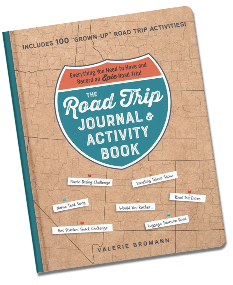
The Road Trip Journal & Activity Book
Everything You Need to Have and Record an Epic Road Trip!
Enjoy fun games and challenges to pass the time on your next road trip and have a keepsake to look back on for years to come with this entertaining must-have for your next vacation.
Each stop on this map of Route 66 in Arizona is marked with an address (some are approximate), a photo, and a link that you can follow to find more information. The best part? If you have the Google Maps app installed on your mobile phone, the downloadable link will open directly in the app so you can easily see what stop is coming up next and get real time directions to your next stop while on the go.
Ready to hit the road?
Arizona Route 66 Map:
Need more inspiration for planning your road trip? Check out our complete list of Arizona Route 66 Attractions, Top 20 Arizona Route 66 Attractions, all the Route 66 Must See Stops, and these Route 66 Books to plan & inspire your road trip.
Pin this post to save it for later: