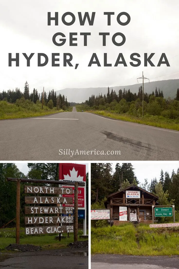
It takes about twenty hours to drive from Seattle, Washington to Hyder, Alaska. Twenty hours, that is, if you drive non stop. No breaks. No food. No sleep. No traffic. No stops at silly Alaskan roadside attractions.
Hyder is located at the head of the Portland Canal, a 70 mile-long fjord that borders Canada and the United States, and it is the only town in southern Alaska that is accessible by road. Known as the “Friendliest Ghost Town in Alaska” and having a mere 100 (approximate) residents, Hyder is dependent on tourism.
So why visit Hyder? Well, in all truth you mostly visit Hyder to SAY you’ve visited Hyder. But don’t worry, if for nothing else but the breathtaking views of British Columbia on the drive alone, it is well worth the journey! (But you can read more here on what to do in Hyder or learn more about “getting Hyderized” here.)
We only had three days to make a 40-hour round-trip drive from Seattle to Hyder, so there was a lot of hustling. I’d say three days is the bare minimum for your road trip to Hyder, Alaska. I would have loved to have more time to stop at some of the Canadian roadside attractions we passed (like Mr. PG in Prince George or the Gold Miner Statue in Cache Creek) but I mostly ended up seeing them through the car window. We did have some time to stop for food, gas, obligatory Timbits, a couple of nights in hotels, and, basically, at any sign we saw that pointed towards Alaska.
It was a long drive from Seattle to Hyder, but it was also an easy drive. And an extremely pretty drive at that. And, at the end of it, you get to say you drove to Alaska. So how did we get to Hyder, Alaska, from Seattle Washington? And where did we stop on the way? Here’s the Hyder road trip route…
How to Get to Hyder, Alaska on a Road Trip:
Below is the map to get to Hyder, Alaska. Your best bet when taking the road trip is to pull up a gps, paper map, or digital map to follow along. (Check out my recommendations here.) Below the map are some general directions with a few essential stops for you to looks for on the way.
It’s about a to hour drive from Seattle to the Canadian Border. You’ll mostly stay on I-5 N the entire time and cross the border into Canada in Abbotsford, British Colombia.
From there, you’ll continue on Sumas Way/BC-11 N until you merge onto Trans Canada Highway/BC-1 E. You’ll take that for about 50 miles and then take exit 170 for BC-1 E/TransCanada Highway, which you’ll continue on for about 120 miles. And then you’ll continue on BC-97 N for about 120 miles more.
After that you turn right onto Likely Rd, turn left to stay on Likely Rd, turn left onto Mountain House Rd, turn left onto W Coast Rd and continue onto Westcoast Rd, before turning right onto BC-97 N
to take that for 65 miles. (Got it? Just use the map.)
And, after that, you turn right onto Cariboo Hwy/Carson Ave/BC-97 N, turn right onto Cariboo Hwy/Front St/BC-97 N and follow Cariboo Hwy/BC-97 N for 52 miles. Then, another 20 on BC-97 N.
From there you take the exit toward Ferry Ave/Queensway, keep right at the fork, following signs for Vanderhoof and merge onto Ferry Ave/Queensway. Follow Ferry Ave and then turn left onto BC-16 W for another 300 miles.
At a gas station at the intersection of BC16 and BC37 in Kitwanga, British Columbia, there’s a wooden “North to North to Alaska, Stewart, Hyder, and Bear Glacier sign that makes a good photo op along your Hyder road trip! (Plus, a convenient place to stop to fill up your tank!)
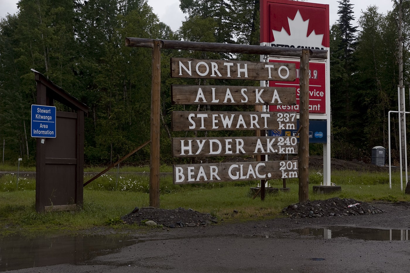
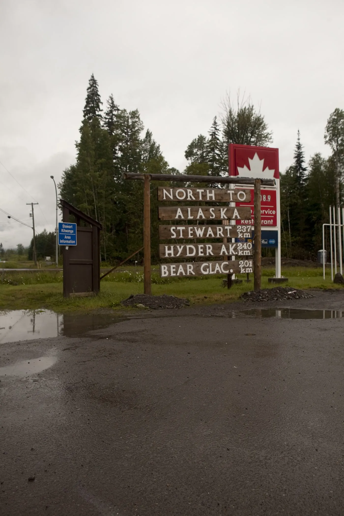
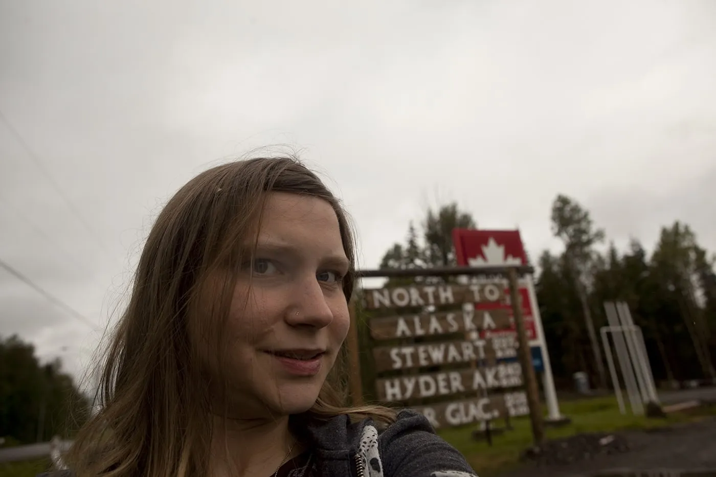
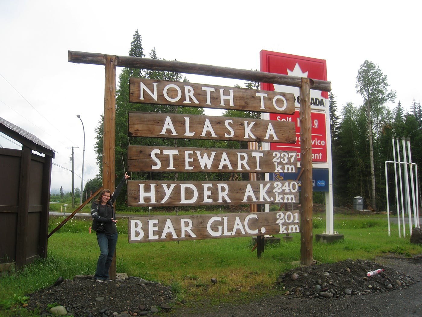
When you’ve gas tank is full and taken all the photos, hop back in your car and take BC-37 N for about 100 miles.
Driving up British Columbia on Highway 37 you’ll hit a crossroads where you can turn right towards Alaska Highway or left towards Stewart, BC. While you are on the way to Alaska you won’t want to take the Alaska Highway (another time, maybe?).You’ll want to turn left on 37A towards Stewart, a sister town of Hyder, Alaska, the only Alaskan town in Southern Alaska that is accessible by road.
Before heading on though, pull over to take a few photos at Meziadin Junction where there is a small building with information and signs pointing the way towards Hyder.
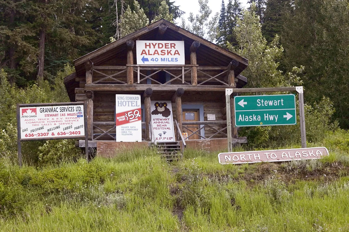
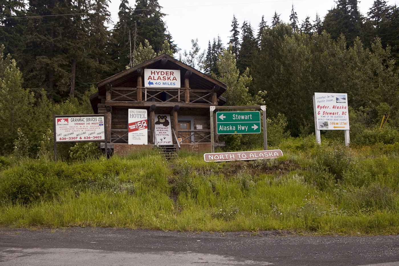
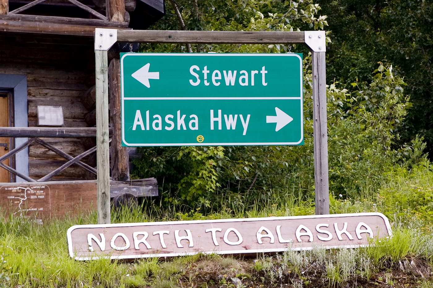
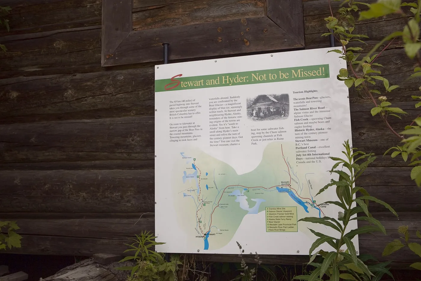
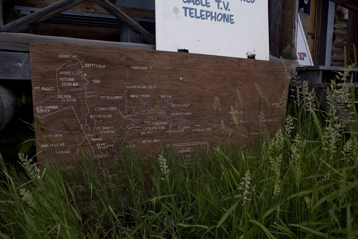
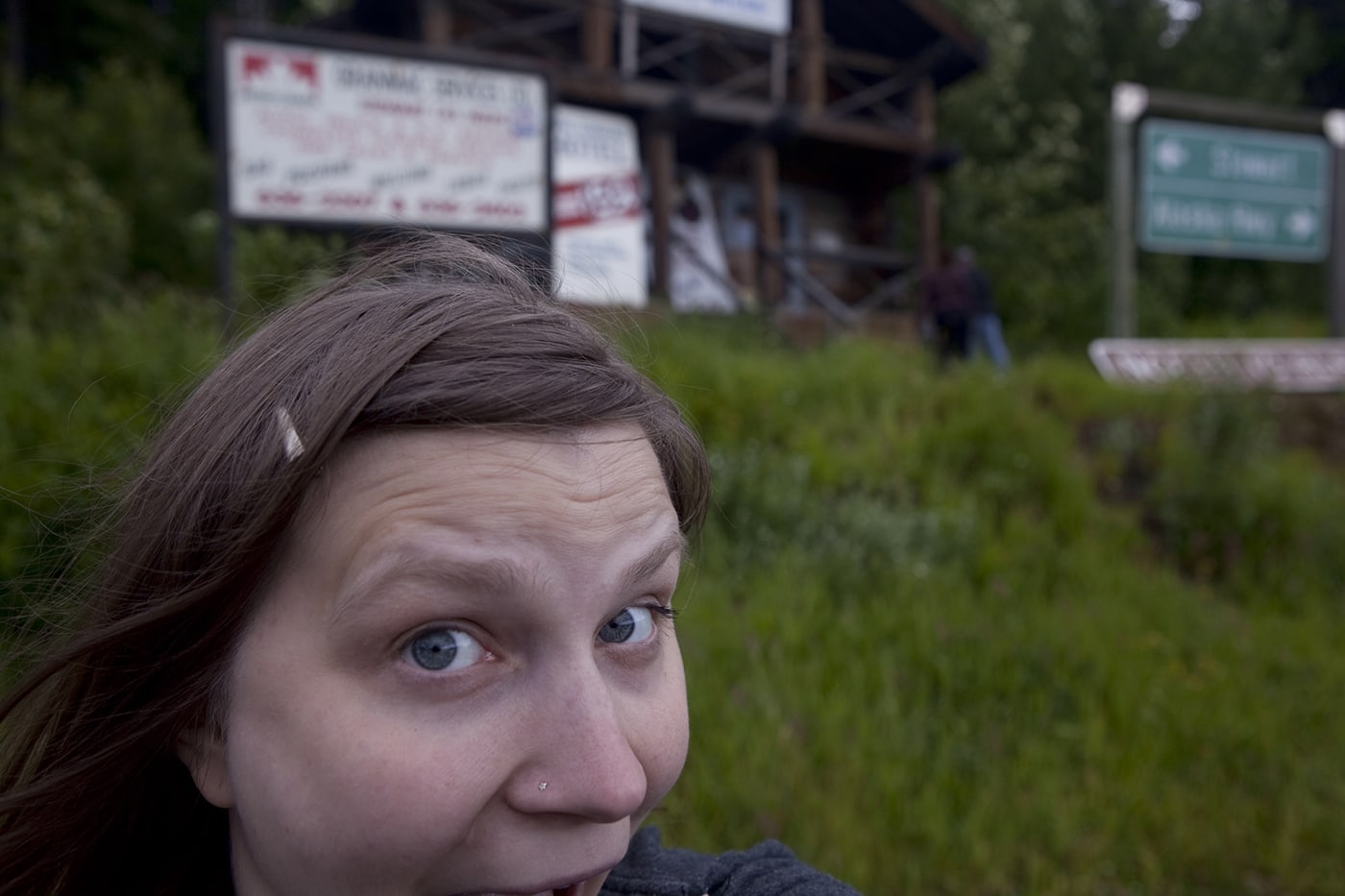
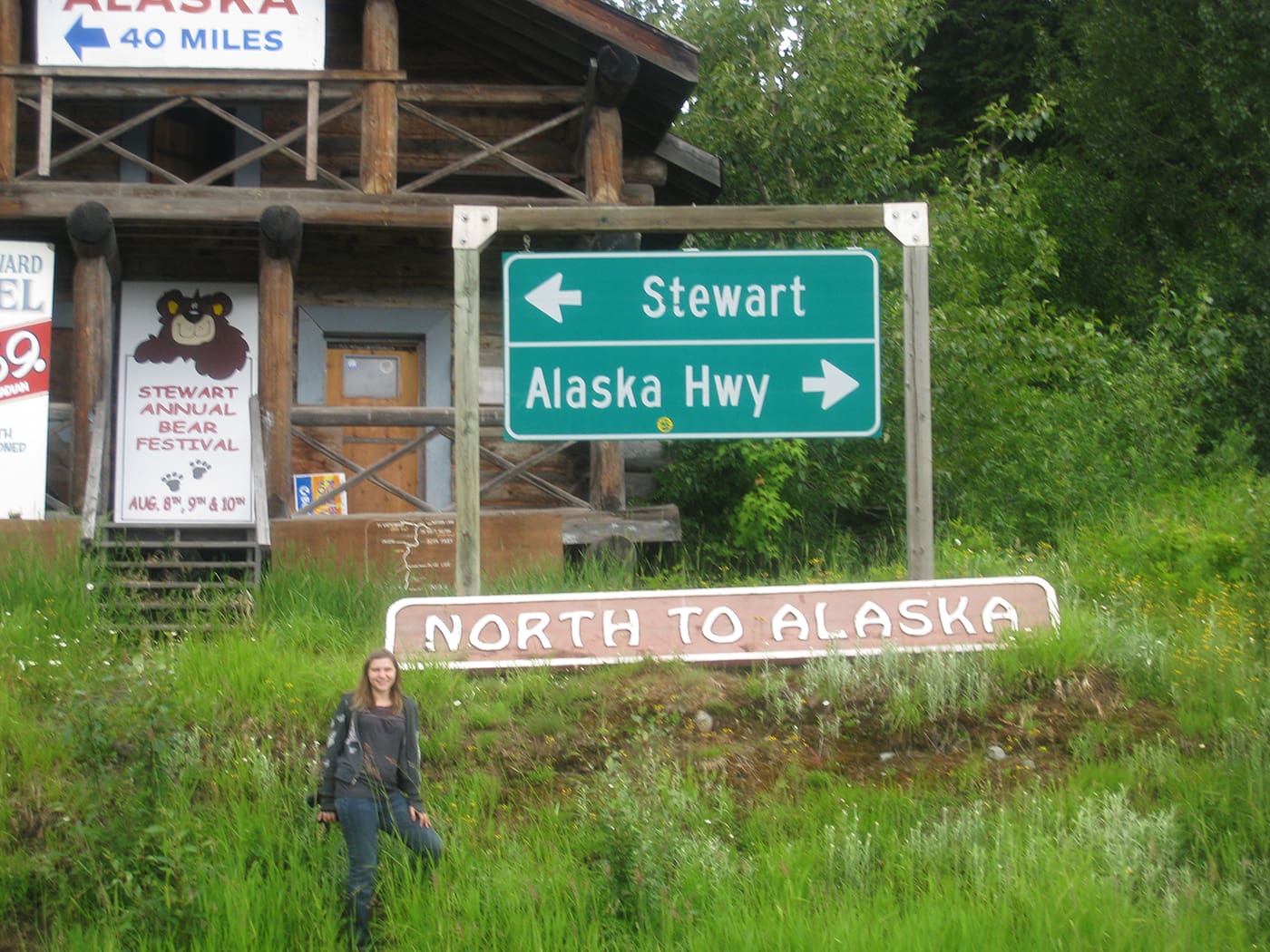
Another reason to stop at Meziadin Junction is for the great views…and the chance to play in the middle of the virtually-deserted highway!
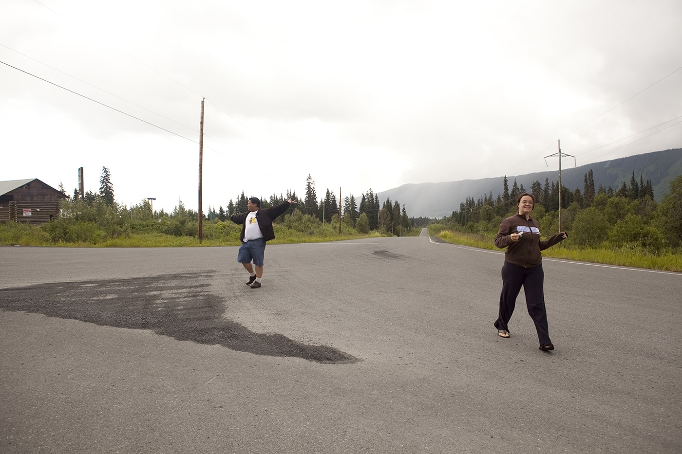
Once you’re done at Meziadin Junction, follow Glacier Hwy/Stewart Hwy/BC-37A W for around 38 miles.
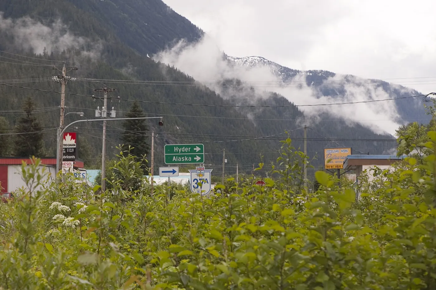
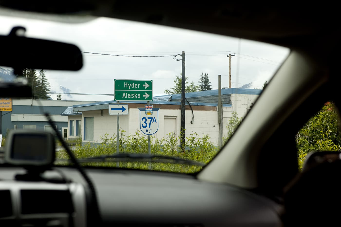
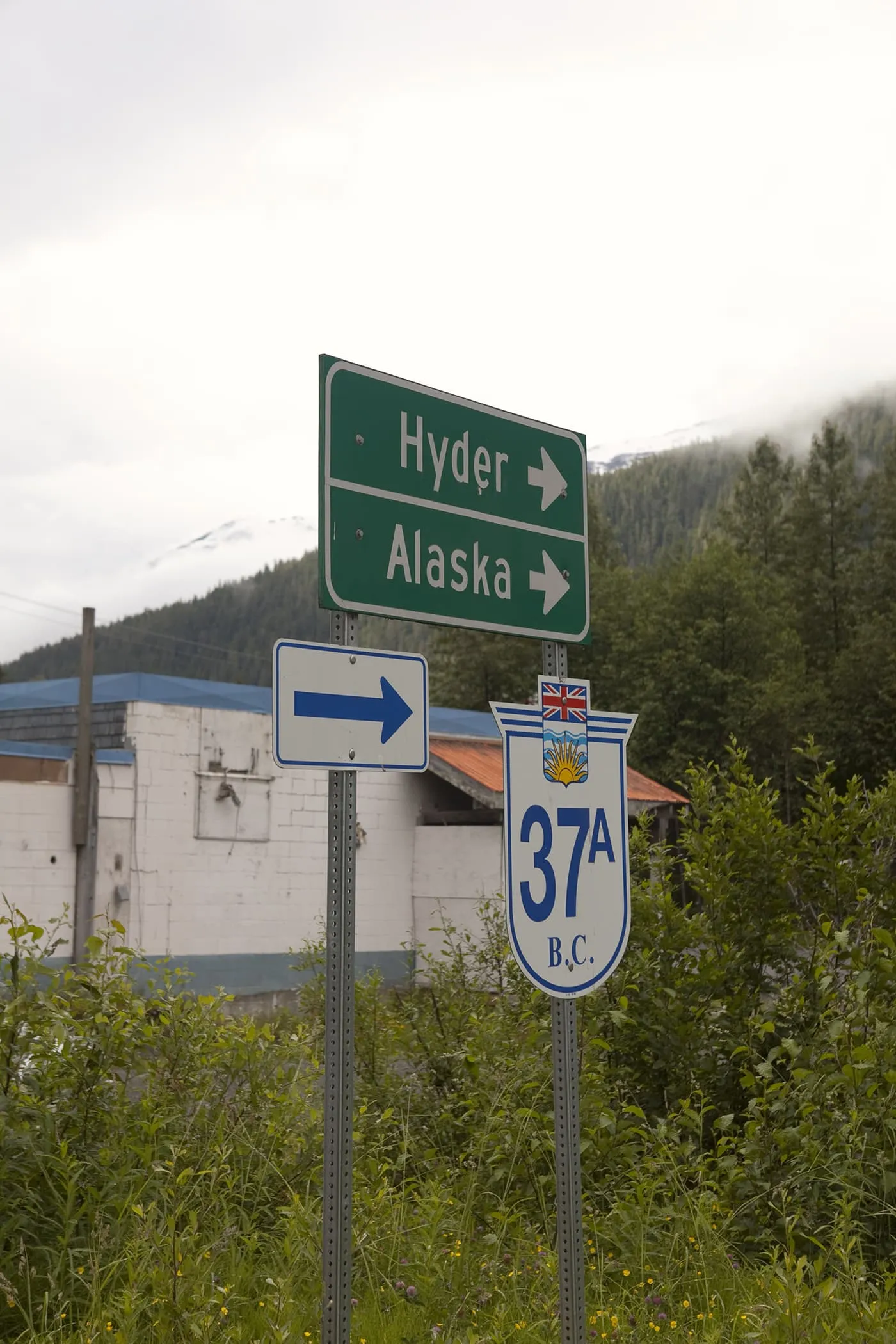
Turn right onto 5th Ave/Glacier Hwy/BC-37A W (be sure and stop to check out Bear Glacier), continue onto International St, turn right at Nevada St, make a slight right onto Premiere Ave, and a slight right onto Hyder Ave.
Congratulations! You’re made it to Hyder, Alaska!
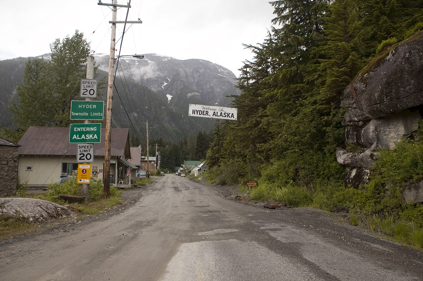
Now what? Check out my list of things to do in Hyder, get Hyderized, and watch for bears at Fish Creek. Then…turn back around!
On your way back be sure to stop check out Stewart, British Columbia, it’s a lovely town!
Pin this post:
